
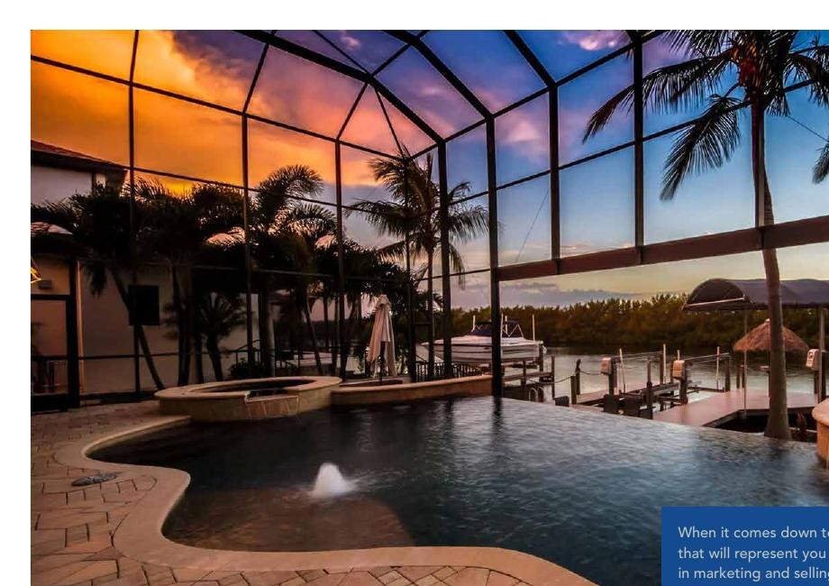
Dock and terminal basin
Frequently the least-documented part of the route. Treat as unknown unless a dated sounding or field measurement is available.
The complete topic is displayed directly below.
Review available City canal-survey information separately from the boat-route calculator. Surveyed depths are dated observations—not guarantees of present navigable depth.
The map opens close on Cape Coral. Blue lines show the canal network, and each background-free number sits at its City survey location in feet. Pan to another canal or use the regional-area buttons to move elsewhere.
No single agency layer covers every portion of the trip. Use the City survey for available canal observations and the USACE survey for the federal river channel.
Frequently the least-documented part of the route. Treat as unknown unless a dated sounding or field measurement is available.
Use the City bathymetric observations where published. Gaps between points and unsurveyed canals remain unknown.
Check the full crossing from the canal outlet to the marked channel. This transition can shoal and may not share the channel’s maintained depth.
Use the latest USACE eHydro survey, its sounding date and datum. Stay within current markers and verify navigation notices.
Review the marked Intracoastal route, passes, bars and shallow flats on both sides of the island. Water outside a marked route can become shallow quickly.
Open official chart ↗Inspect charted soundings and aids to navigation, then verify bridge clearance, tide and recent local shoaling information.
Open official chart ↗Check the complete route across the bay, including marked channels, shallow shoals and approaches to marinas or residential canals.
Open official chart ↗Review current charted soundings, markers and the pass. Storms, shoaling and dredging can materially alter local conditions.
Open official chart ↗Follow the marked Caloosahatchee channel past the downtown waterfront and the Edison and Caloosahatchee bridge area using NOAA charting and the newest USACE survey.
Open USACE survey map ↗Review the channel bordering North Fort Myers and continuing east toward the Franklin Lock. Near-shore water and private canal approaches may be much shallower than the main channel.
Open USACE survey map ↗The Corps describes the Gulf Intracoastal Waterway from the Caloosahatchee toward Anclote as a 9-foot project with 2 feet of allowable overdepth referenced to Mean Lower Low Water. The W.P. Franklin Lock page identifies an 8-foot channel near that structure. These are project or facility dimensions—not a route-wide guarantee.
Surveyed portions of the eastern saltwater network are shown through the City’s published GIS experience. Areas without observations are labeled by omission and must be treated as unknown.
The water between a canal mouth and the marked river channel may be shallower than either published map suggests. Treat any uncovered approach as unknown and verify it separately.
The U.S. Army Corps of Engineers publishes hydrographic surveys for the Caloosahatchee federal navigation project. Review the survey date and vertical datum before interpreting a sounding.
Use the NOAA chart for Pine Island, Matlacha, Sanibel, Fort Myers Beach, North Fort Myers and downtown Fort Myers; use eHydro for the latest available federal-channel survey.
Mean Low Water, Mean Lower Low Water and other datums are not interchangeable. Compare a boat’s loaded draft only with depths stated in the same reference system and allow a conservative safety margin.
Send Steve the address and your boat details. He can help you evaluate access, bridges, seawall, elevation and due-diligence questions before you commit.